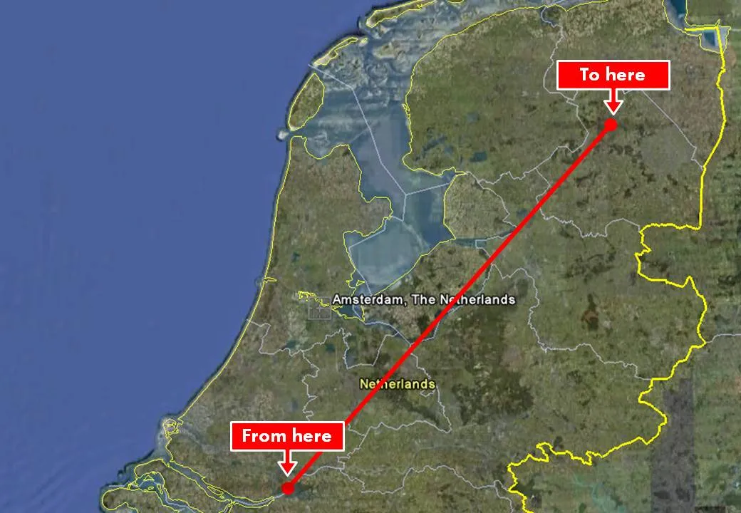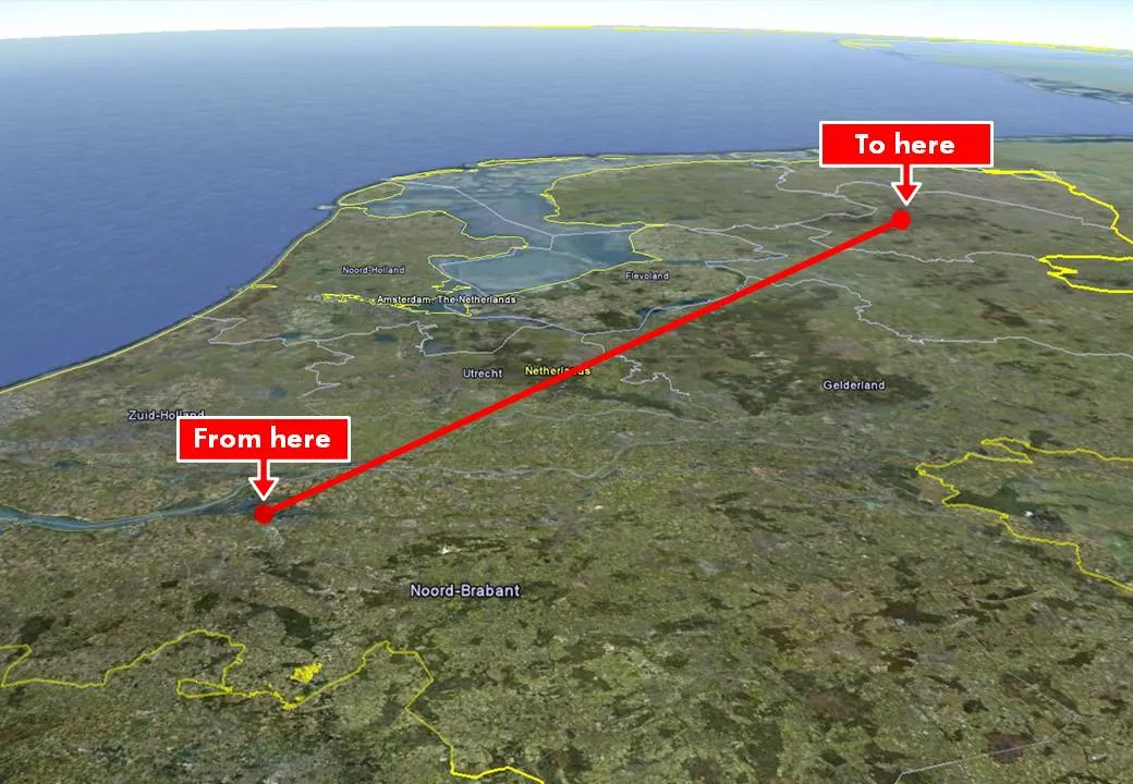
Google Earth is a wonderful tool to produce maps in your presentation. Select the area you want to cover, do a screen dump and crop your image in PowerPoint. Make sure to make the best use of the power of Google Earth. Tilting the map to a level that the horizon becomes visible adds a nice additional perspective to the chart. Especially when you visualize paths.